 Open main menu
 Open main menu
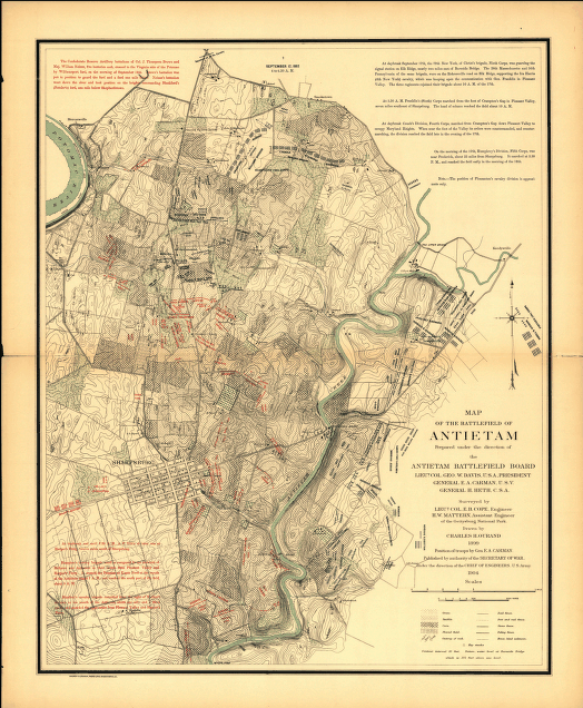
The battlefield map on the Overview page and the Assault Summary and individual detailed maps on the Battle Maps and Tablet Locating Maps pages are of my own creation, but are overlaid on War Department maps created as part of the excellent work of the Antietam Battlefield Board in the 1890s. A set of 14 maps covering the various time periods of the fighting during the day on the 17th, these are known as the Carman-Cope Maps. They are named for two of the men most responsible for their creation: General (formerly Colonel) of Volunteers Ezra Carman, a member of the Board who ascertained the positions and movements of units, and Lieutenant Colonel Emmor B. Cope, the engineer who surveyed the ground.
These maps were published by the US Government Printing Office (GPO) in 1904 as the Atlas of the Battlefield of Antietam1, and are are available in their original form online from the Library of Congress. They were revised and re-issued in 1908; that version also online from the Library of Congress.
Each of these map images are very large in digital size (averaging about 8MB each page) however, and very large in screen area as well. I have scaled down the maps or sections of them and prepared symbols and text elements to make these of more practical use here at Antietam on the Web.
There are some known problems with the physical accuracy of the Atlas maps, but for our purposes they are more than sufficient. Also they are simple enough to allow overlay of unit details without being too confusing, yet still contain rich detail about the features of the ground.
For a really excellent discussion about mapping the battlefield, and some incredible work in digital mapping, you might like to see Todd Livesy's Photograhic Tour of Antietam site. He discusses mapping techniques, his work with topographic data, and the accuracy of the 1890's and more recent US Park Service maps as well on his background page.

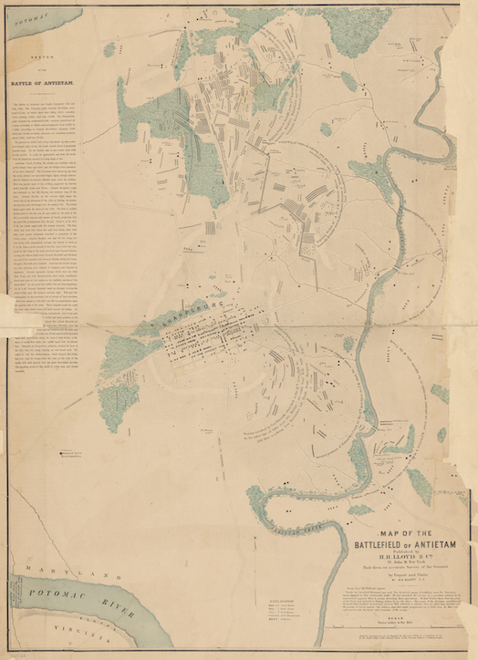
I built these map exhibits from the Elliott Map which plots the burial locations of more than 5,800 of the soldiers who died and were buried on the Antietam battlefield, along with piles of dead horses and locations of some artillery batteries. Civil engineer Simon G. Elliott (1828-1897) published the map in 1864, about the same time as his better-known map of the burials at Gettysburg.
An original print of the map has probably been in the collection of the New York Public Library since soon after it was made, but only came to the attention of most of us in June 2020. A set of digital copies made between 2015 and 2018 are hosted online by the NYPL.
The Elliot map does have some issues, as is to be expected considering the chaotic conditions on the field after the battle and that it was compiled 2 years afterward. You'll find notes of the things I've found on each of the map segments' pages.

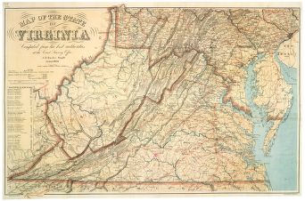
The maps in the Maryland Campaign series are also of my creation, but are layered on a large scale 1863 map of Virginia by the US Coast Survey Office, Washington DC. The map has been digitized and posted online by the US Library of Congress. Their version is scalable and zoom-able also. The original map is in the collection of the Library of Virginia, Richmond.
Details of troop movements and positions are from the Official Records and other first-person accounts—nicely organized and consolidated by the exhaustive research of Dr Joe Harsh documented in Taken at the Flood2—with additions by the webmaster.

1 Carman, Ezra Ayres, and Lieut. Col. Emmor B. Cope, Hays W. Mattern, Charles H. Ourand, Atlas of the Battlefield of Antietam, 14 maps, Washington DC: US Government Printing Office, 1908 [AotW citation 16664]
2 Harsh, Joseph L., Taken at the Flood, Kent (Oh): Kent State University Press, 1999 [AotW citation 16665]